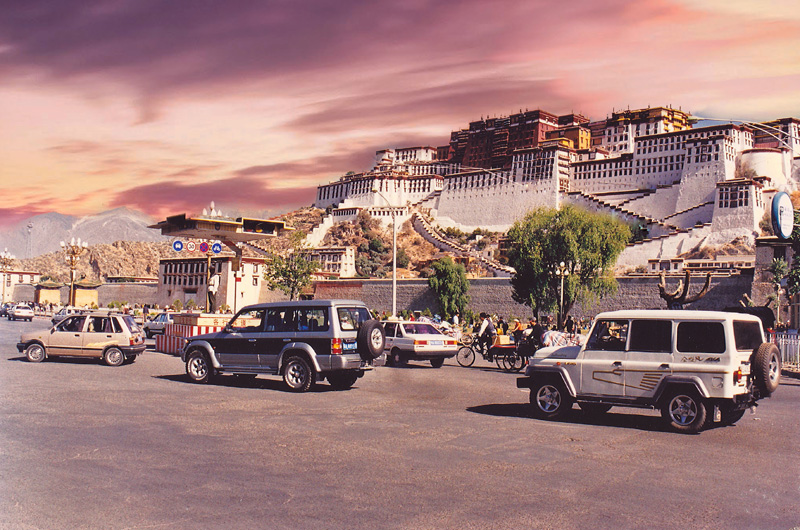
Lhasa - start of the road trip in 2000. [Photo by Bruce Connolly/chinadaily.com.cn]
In 2000, Lhasa was a different city in many ways, compared to what it is today. High on the Qinghai-Tibet Plateau, it was much more isolated back then. Its airport, a roughly 90-minute drive from downtown, was at that time the only one operating across all of Tibet. In earlier years, flying into Lhasa had been restricted to early morning flights from Chengdu in Sichuan. By 2000, however, it was well-served by modern, powerful jet aircraft capable of landings and takeoffs at high altitudes, able to cope with occasionally difficult afternoon weather conditions. In recent years several new airports have also opened across Tibet.
Despite the advances in aviation technology, flying into Tibet was expensive. Before the completion of the Tibet railway in 2006, roads were the only feasible option for most freight and passenger traffic. It amazed me during my time in Lhasa how so much that made my stay both pleasant and comfortable must surely have come up to the city by road. Two main highways served Lhasa at the time. From Golmud to Xining, Highway G109 was a long, lonely journey through an almost empty upland plateau. The other route, Highway G318, runs 5,476 kilometers from Shanghai’s People’s Square, via Sichuan and southeastern Tibet ultimately to Zhangmu, the border crossing with Nepal. I would leave Lhasa along G318 on a road trip initially to the base of Qomolangma, known in the West as Mount Everest.
I noticed several oxygen bags loaded into what was a comfortable but strong SUV. Lhasa was modern and well-planned, but outside the city, infrastructure such as road quality was quite variable. The physical terrain often proved very challenging for highway construction, even between Lhasa and Xigaze, Tibet’s second city. Geologically, much of the area is still active. Landslides remained a danger during the rainy season.

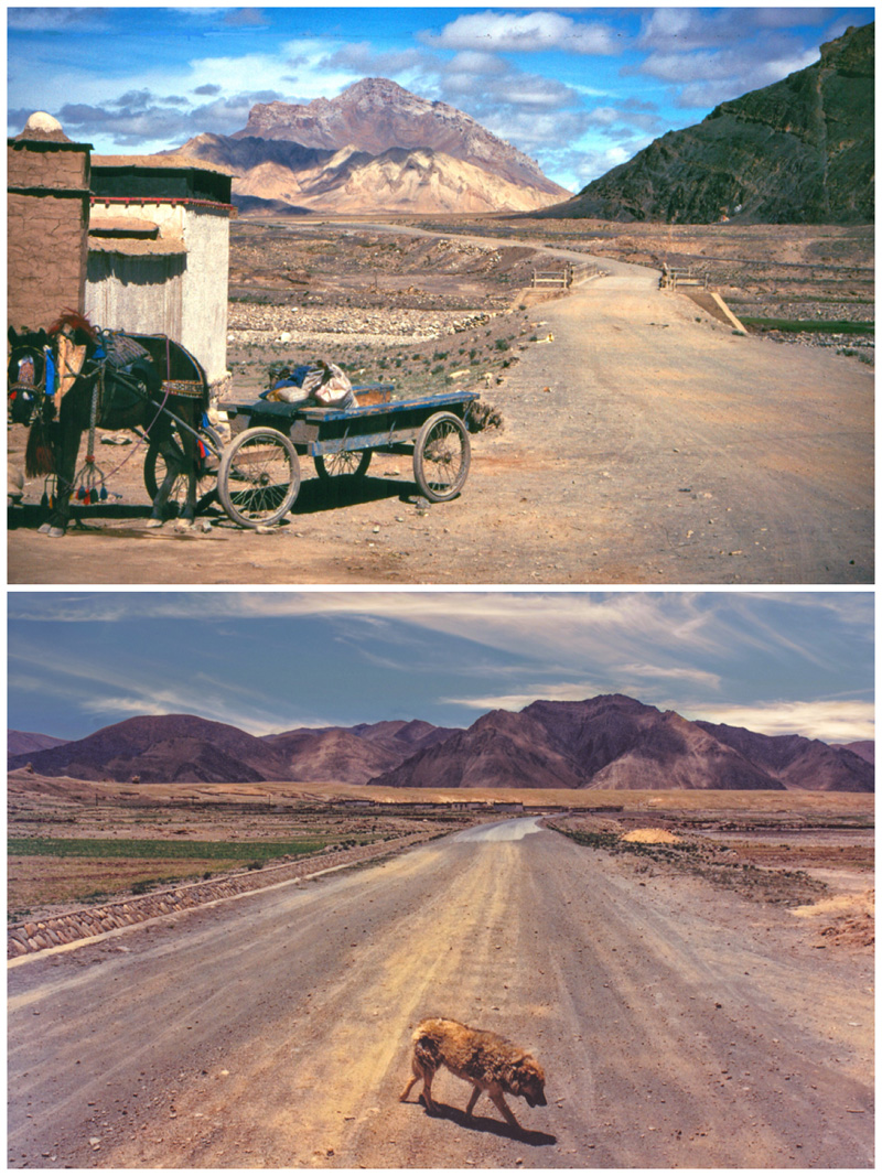
Highway 318 at Tingri 2000. [Photo by Bruce Connolly/chinadaily.com.cn]
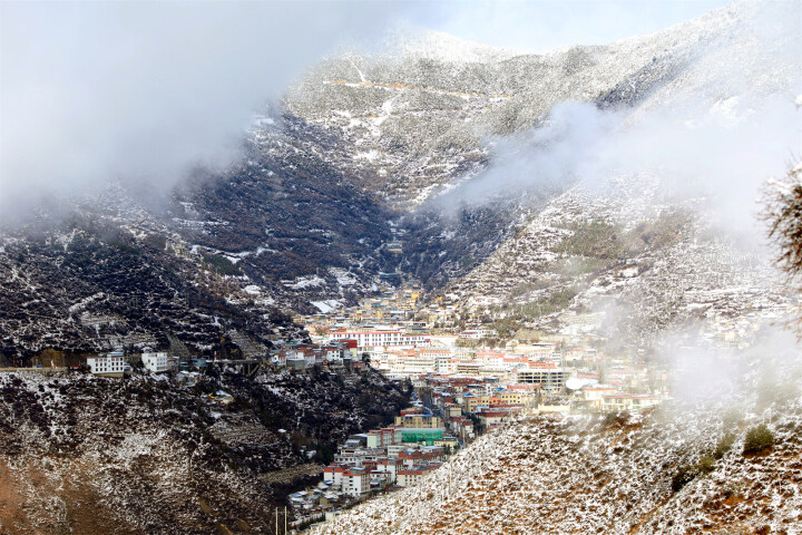
Initially my departure from Lhasa along G318 followed the road that had brought me a few days earlier from the airport. Nearing the Yarlung Tsangpo Bridge, we turned right for Xigaze. Initially the route followed a wide valley and the river braided into many channels, with sweeping views toward glacial mountain peaks and ridges. Villages sat near intensively cultivated, irrigated farmland. Then it started narrowing, with scenery becoming increasingly breathtaking. Settlements perched on any patches of level terrain available.
The road started along a ledge cut below almost vertical cliffs. High gullies were filled with long fingers of snow. Below the road, sheer drops reached the river that appeared to be cascading around huge rocks. Workers tirelessly cleared fallen boulders from roadside ditches. Flocks of sheep and goats also shared the road space, with drivers carefully edging past. Gradually the valley widened, and the river slowed, allowing flat-bottomed ferry boats to carry villagers across. Both road width and quality improved. Where bridges spanned river junctions, small restaurants and shops had opened, providing supplies for travelers. At intervals, pack horses gathered beside narrow trails leading to seemingly inaccessible villages.
|


7740f3b5-9ecb-438e-9052-76cb2d4bb671.jpg)

