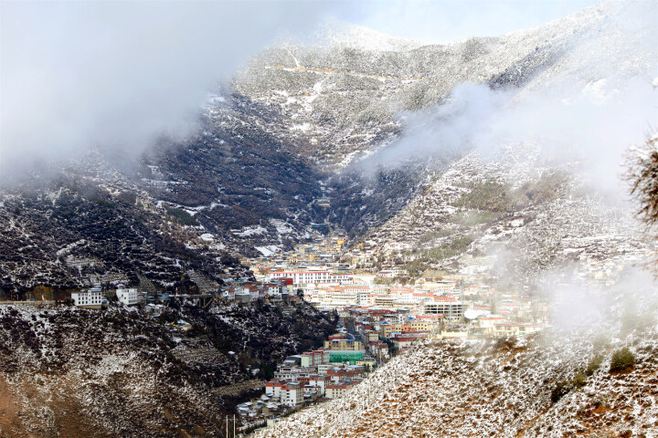
Restaurants and shops at Tingri 2000. [Photo by Bruce Connolly/chinadaily.com.cn]
The road would climb up and over several passes usually crowned with prayer flags, such as the 4,500-meter-high Tso-La Pass and the 4,950 meter-high Yulang-La Pass. The visibility was so clear, giving excellent views of distant peaks. At one point I saw the heavy walls of what had been a fort guarding a pass. Descending, lower areas would have limited cultivation, although I did observe groups of farmers scattering seed potatoes onto ploughed soil. Ponies pulled wooden carts alongside the farmers.
Along G318 there also was a regular procession of blue trucks laden with goods, for this road was also a main lifeline to western Tibet.
Some 150 kilometers from Xigaze is Lhaze, a small county whose main street had many small restaurants with name boards in English such as “Chengdu Restaurant”, for it was where G318 to the Nepalese border splits from the highway to western Tibet. Apparently travelers heading up toward Mount Everest maybe would stay one or two nights, for it was the last real town on the route.

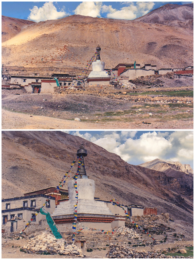
Rongphu Monastery 5030 metres asl 2000. [Photo by Bruce Connolly/chinadaily.com.cn]
The road climbed again up a narrow valley where herders would camp while tending their yaks. This led up to Gyatso-La Pass, at an altitude of 5,220 meters, one of the highest along the route. Stopping briefly, I thought it was amazing how people gathered around, yet there was no sign of any habitation. The landscape felt like arctic tundra vegetation, and beyond it I could finally see the snow-capped peaks of the Himalayas. However clouds were building up over those peaks for the monsoon would soon push up from the Indian sub-continent. In this area the road was not surfaced and it was a constant struggle for work crews to keep it open.
When we reached distance marker 5,115, a sign declared we were entering the Mount Everest Protection Area. Scattered trees indicated the approach toward a small village, Tingri, where the main road turned off to Shegar. Notices proclaiming “guesthouse” and restaurant adorned building exteriors signaled the area was used to visitors. I had lunch in a restaurant that amazingly had television, hi-fi and a fridge! Boys tried to sell fossils dug up locally while people gathered for onward transport by truck or bus.
Soon after the village was the 63-kilometer route leading up to Mount Everest. As we drove gradually higher, I was enthralled with the geology exposed everywhere, often showing bedding planes of the rocks tilted vertically. That gravel road gradually climbed up through a wide valley with an increasing sensation of being on the roof of the world as we reached the 5,120-meter-high summit of Pang-La Pass. Beyond it lay one of the most spectacular views in the world. Along the horizon stood the glacial peaks of the Himalayas, with Mount Everest, or Qomolangma, at the center. It was so stunning I could easily have stayed there all day.
|


7740f3b5-9ecb-438e-9052-76cb2d4bb671.jpg)

